Iroquoia #2
14.0 km to 23.2 km

March 31, 2015

Weather:  Cloudy and mild.


We started the hike at the Jones Access Road Trail.  We climbed sharply to the main trail and turned right. We hiked beside the subdivisions constructed on the raised beach of old Lake Iroquois which is locally called "The Tablelands".  We continued past parking areas at DeWitt Road and Millen Road. 

Previous Section
Next Section

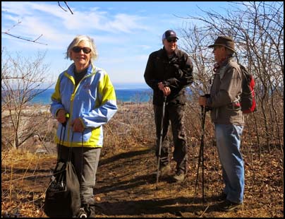
Helgy, Steve, and Case (photo from another hike)
Karen, our leader and official photographer, forgot to put the chip in her camera so pictures on this section are limited.

We continued along the slope of the Escarpment above more housing developments and woodland.  We then ascended steps and crossed over New Mountain Road on a railway bridge.  We continued through the bush above the railway line to the Devil's Punch Bowl.

We continued above the railway tracks and crossed over Stoney Creek and continued west through a wooded area above the railway line.  We then crossed Battlefield Creek and continued westward on the railway tracks under the Centennial Parkway overpass.

We then veered southwest and reach an abandoned railway.  We hiked uphill to the municipal playing field and waterworks into another wooded area paralleling the east end of Greenhill Avenue.

We then gradually climbed to the top of Escarpment and followed the brow west to enter the mature woodland of Felker's Falls Conservation Area.  We circled around an old quarry and returns to the brow. 

After reaching a gorge we turned left and followed the Escarpment rim and crossed the creek above Felker's Falls on a steel bridge to the parking lot where we had parked the car.


Return to top of Page
Deep Roots and Tall Trees
Return to top of Page