Iroquoia #1
2.1 km to 14.0 km

April 2, 2015

Sunny with some cloud, warm.  with few sprinkles at the end.

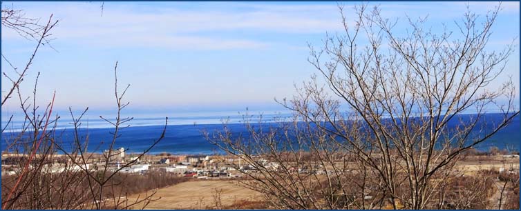
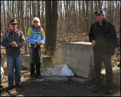
We started the hike at the Beamer Memorial Conservation Area where we spent some time talking to the individuals who were watching the migration of the hawks.They told us that they had already counted 52 bald eagles.They explained why the area was a favourite migration route for the hawks.

Previous Section
Next Section

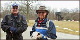
Case, Helgy and Steve
Karen was our leade and photographer


Note the elevated bird-viewing platform behind Steve and Case. We then headed south on Querry Rd and turned right at Ridge Road and proceeded westward to Woolverton Road.

We followed Woolverton Road for  400 m and then turned left into the Woolverton Conservation Area.  We travelled along the brow of the Escarpment with spectacular views for 1.6 km before beginning a long and gradual descent.  We continued along the slope below the Escarpment for 1.8 km.

We continued below the edge of the Escarpment and followed an undeveloped hydro right-of-way through a predominantly hardwood forest. 

At elevensies Case discovered he had left his camera behind when he took off his jacket.  We decided that when we finished the hike we would drive back to Woolverton Road which was close to were the camera had been left.  Case and Steve retraced their steps and found the camera after 1 km which increased their hike to almost 15 kms.

We then passed over rough and rugged terrain before dropping below the brow of the Escarpment and took the Jones Access Trail back to the car. We then picked up the other car and of course we stopped at Tim Horton's o the way home.


Return to top of Page
Deep Roots and Tall Trees
Return to top of Page