Iroquoia #8
78.8 km to 91.7 km

January 22, 2015

Weather: Sunny and relatively mild with minimal wind.


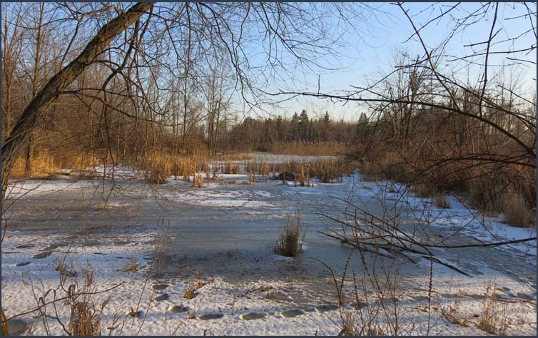
We started the hike at the Fisher Access Trail, joining the main trail in about 100 metres.  We turned left and hiked through the woods  and followed a fence line around Fisher's Pond. 

Previous Section
Next Section

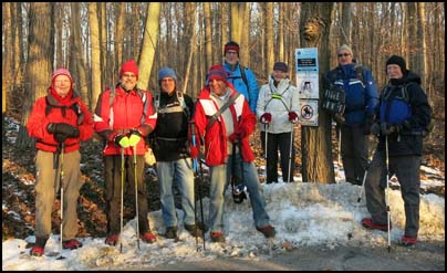
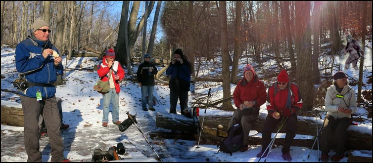
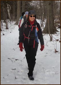
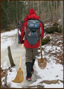
John G, John N, Case, Richard, Mike, Helgy, Steve, Colin and Karen, our leader and photographer.

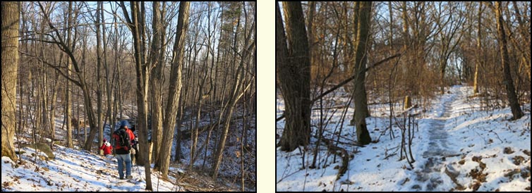
After leaving the farmland, we continued through beautiful woodland for 2 kms to reach Guelph Line. We crossed the road before entering a hedgerow into a bush of maples and young white pines.  

We emerged from the bush onto No. 1 Sideroad.  We continued to No. 1 Sideroad for 1.7 kms to Walkers Line where we turned left and followed Walkers Line for 2.1 kms. At No. 2 Sideroad we turned west onto a road allowance and soon stopped for elevensies.


Anyone notice the strange foot prints on he trail ?

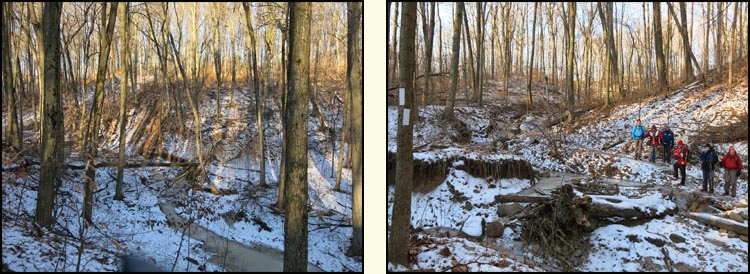
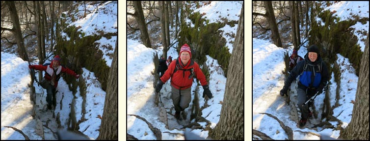
We then continued up the escarpment into the Mount Nemo Conservation Area.  At the top we climbed through a narrow gap in the escarpment up a ladder to the top.

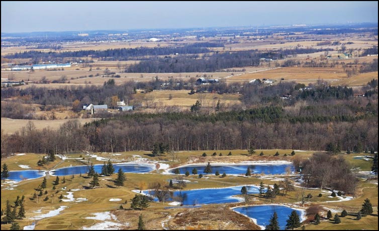
We continued along the top of Mount Nemo hiking on fairly level terrain criss-crossed with fissures, some of which lead into a system of vertical caves.  We stopped at several lookout points and an observation platform along the way to admire the spectacular views. 

We continued following the escarpment for a kilometre  to an old quarry road and then onto the parking lot where we had left the cars.

Thank you.

Karen Nourse
Our Intrepid Leader

who organizes each hike, the vehicles, overnight stays, photos, etc. etc .....

Karen also allows her husband, John, to sweep on occasion.


Return to top of Page
Deep Roots and Tall Trees
Return to top of Page