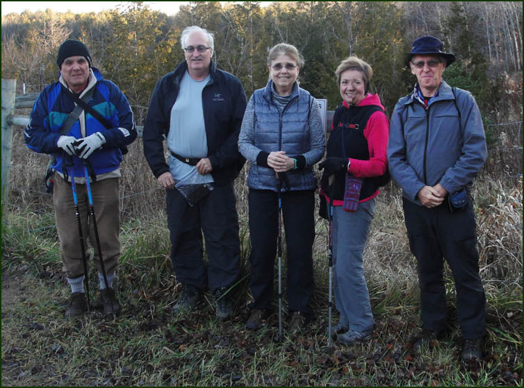
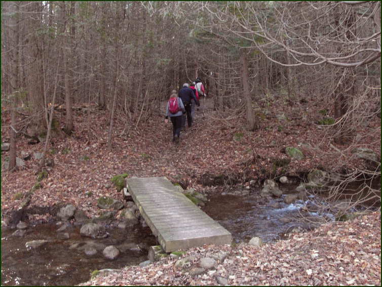
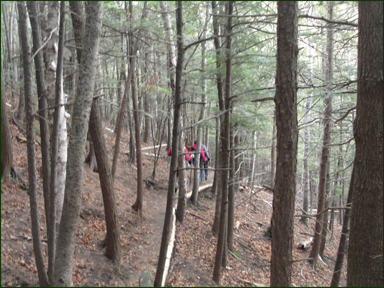
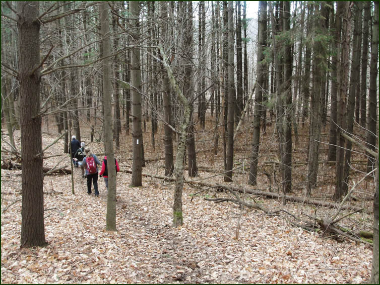
 Todays hikers; Steve, Karen, our leader; Christine all having hiked this section previously Todays hikers; Steve, Karen, our leader; Christine all having hiked this section previously
joined Case in his bid to complete this Dufferin Section.
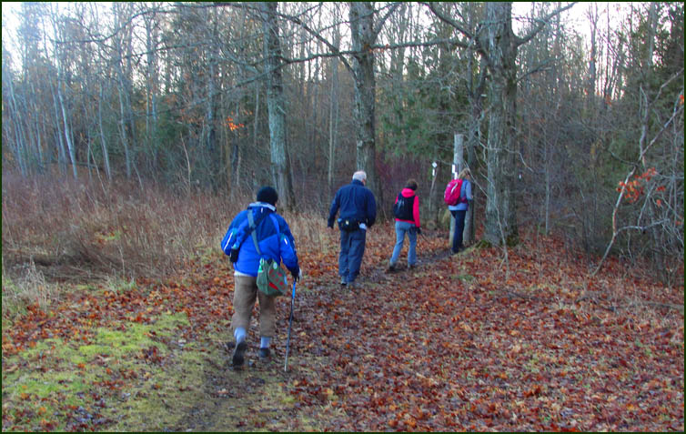
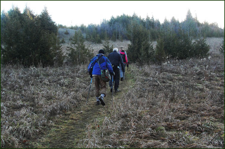
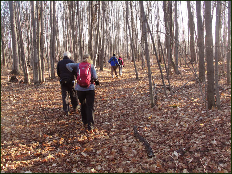
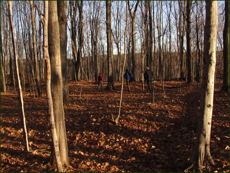
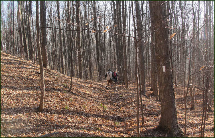
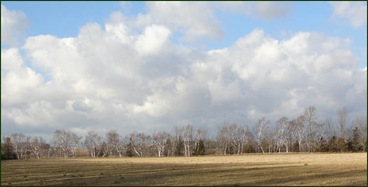
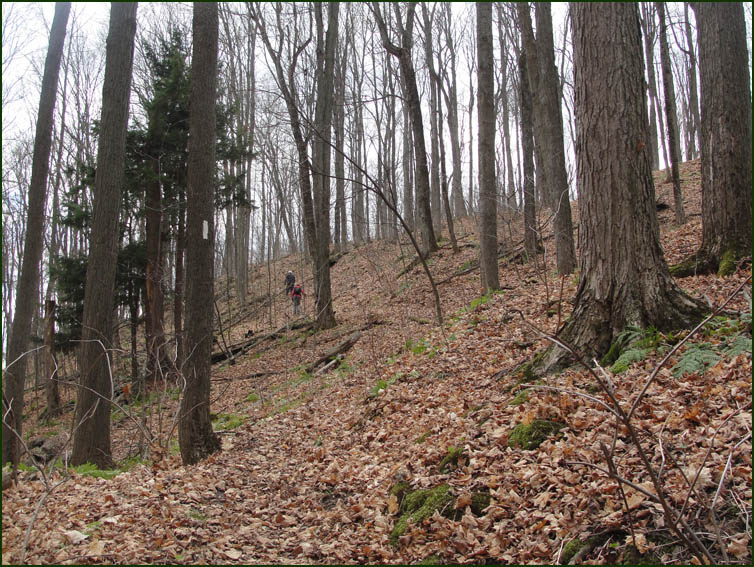
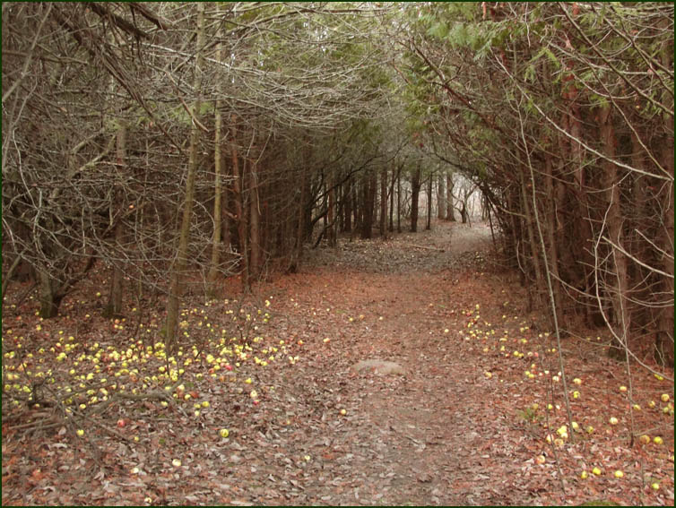
The Trail winds through old orchards and meadows and hardwood forests.
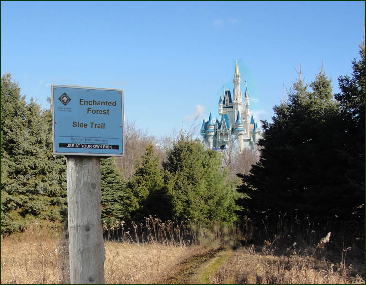
We chose not to take the Enchanted Forest sidetrail ........
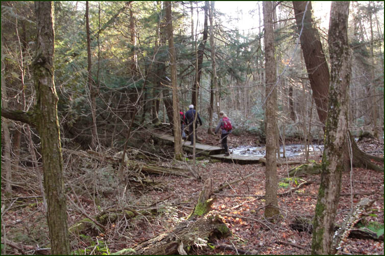
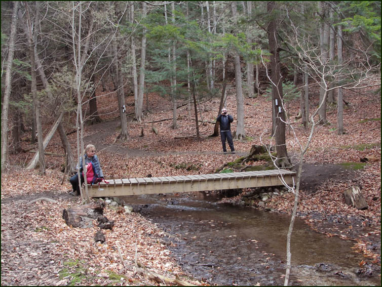
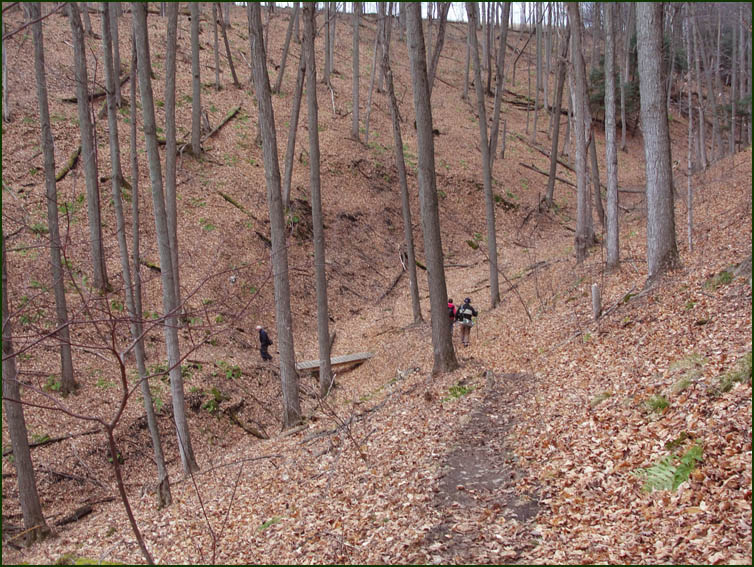
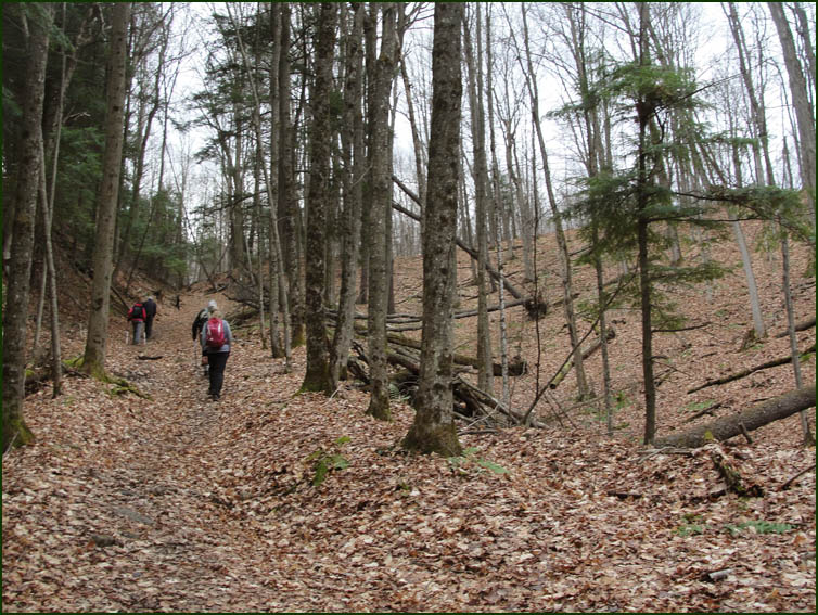
In the Oliver Creek Valley we crossed several bridges and boardwalks.
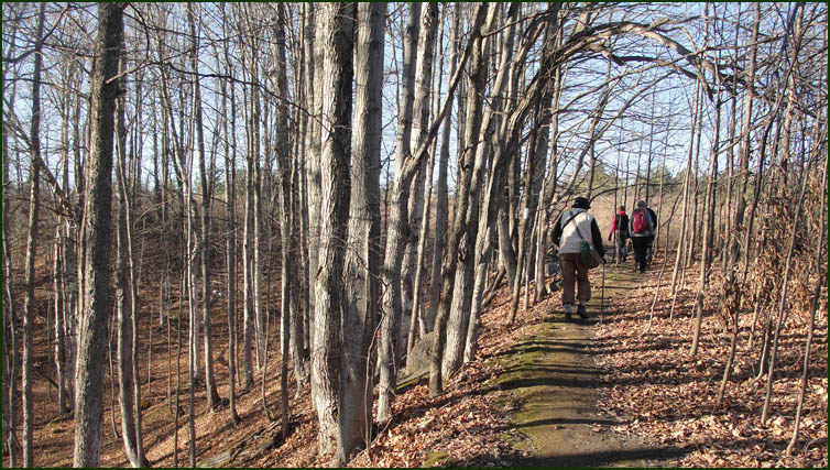
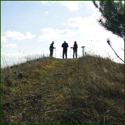
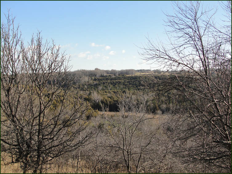
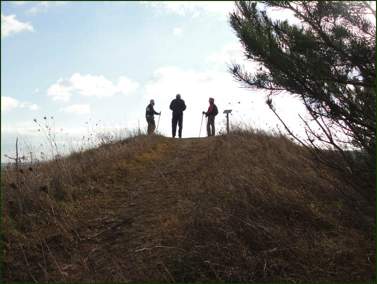
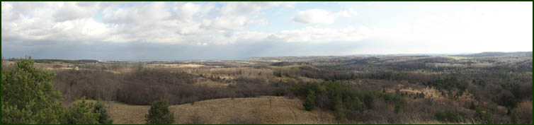
The Trail follows the rim of the East Ravine coming out at the South East Lookout
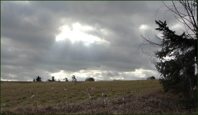
looking out over the Boyne Valley.
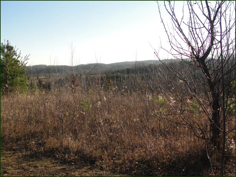
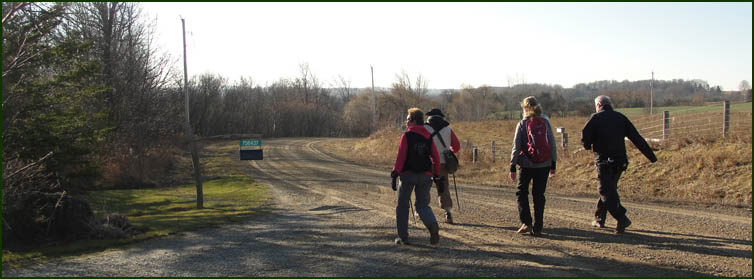
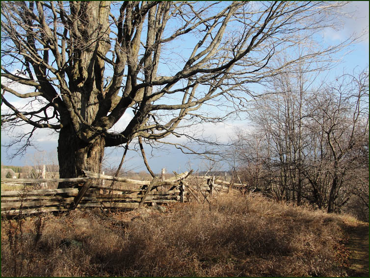
The Trail turns south on to the 2nd Line East and past the 8 Sideroad where the2nd Line becomes a road allowance rising through old orchards to another view of the Boyne Valley.
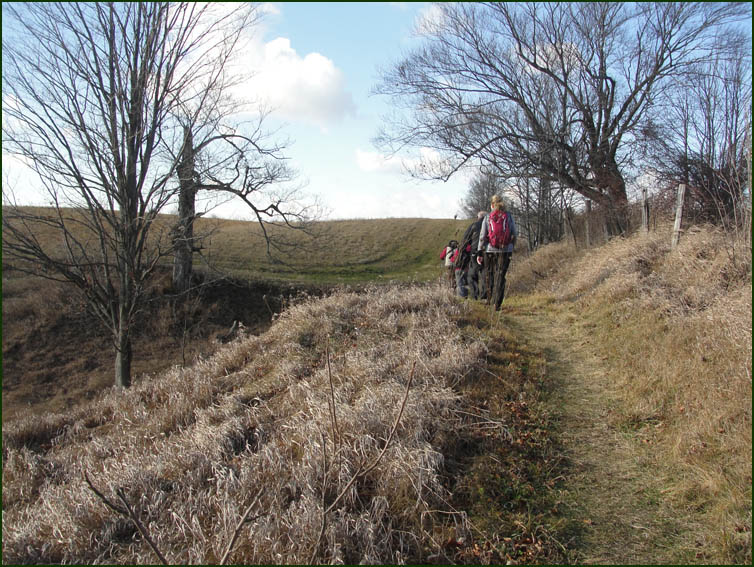
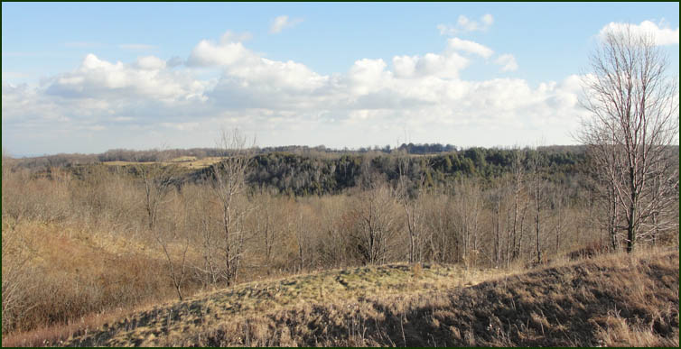
The Trail follows the top of the valley with beautiful views to our left. We had to hang on to our hats because of a very stiff wind blowing out of the southwest.
The Trail heads down into the valley ... again ....
We reach the valley bottom .... have a rest ....
and head up the other side .... again ....
and down again ...... maybe that's why they call this the Dufferin Hi-Lands ?
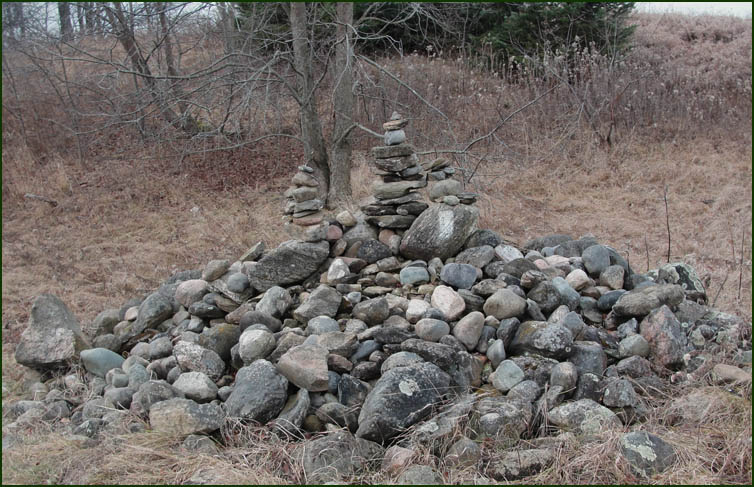
Hikers who had too much time on their hands .....

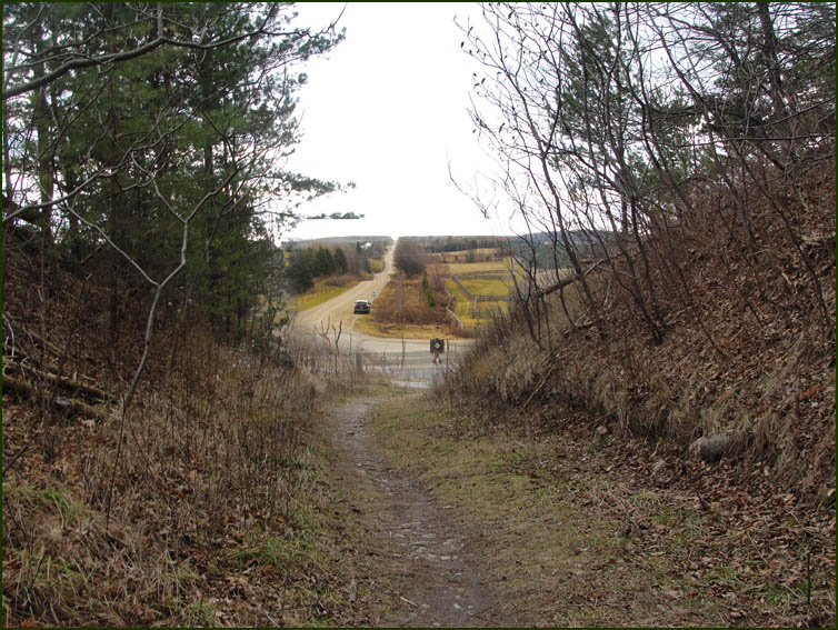
Highway #89 and the car. The hike was completed in about four hours. We collected the other car, met in Orangeville at Tim's and then headed for home.
More to come ..... |