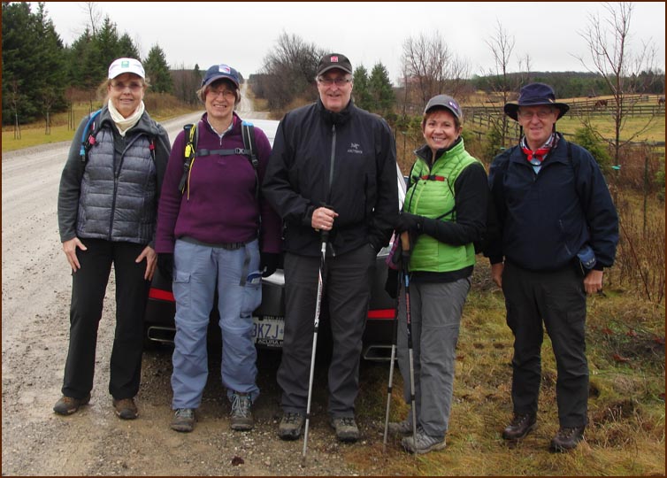
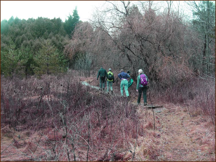
Today's hikers; Karen our leader; Ann, Steve, Christine and Case.
This hike completes the Dufferin Section for Case.
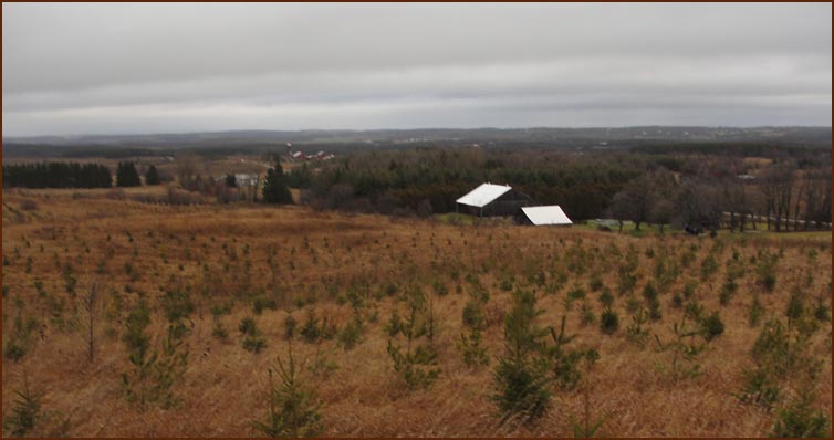
It rained on the drive up from Oakville, causing some concern among the troops but our
leader was adamant that we would perservere. The rain stopped as we parked the last
car and the weather, although cloudy and windy, was good for hiking.

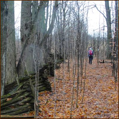
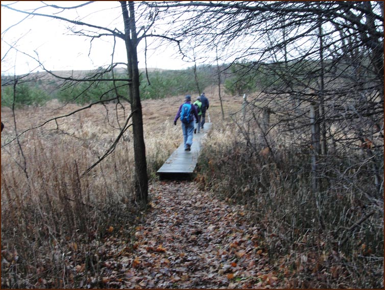
After about 2 km of road walking we turned south off 10 Sideroad into a woodlot
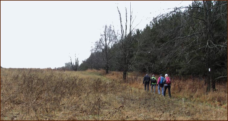
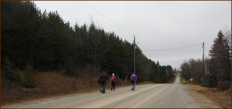
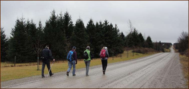
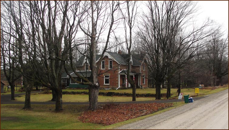
The Trail turns south on the 1st Line EHS passing a lovely farm house. We followed the road for about 2 km where the gravel road ends.
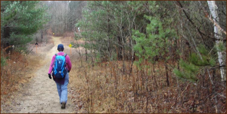
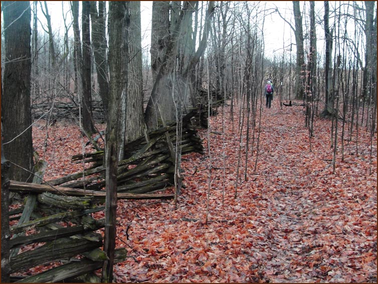
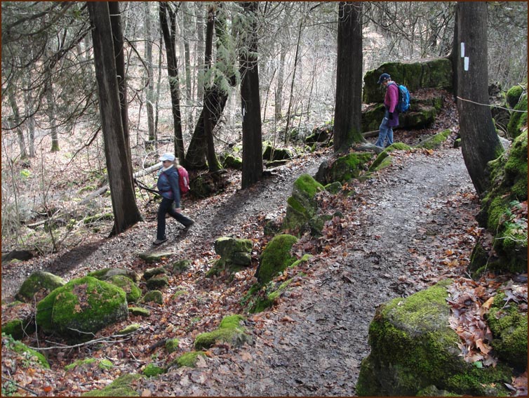
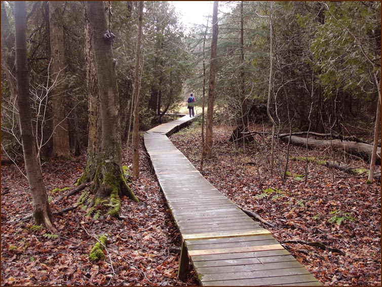
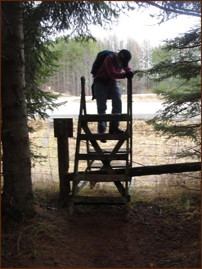
We followed the 1st Line road allowance to where the Trail turns left into the
Mono Cliffs Provincial Park.
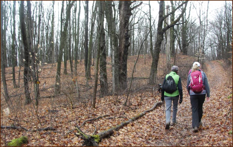
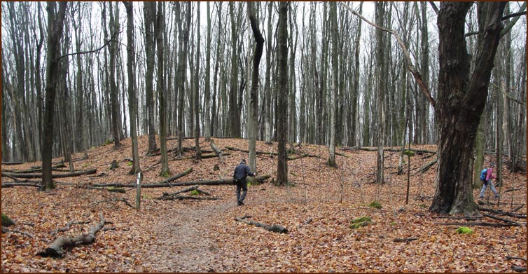
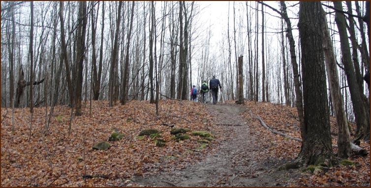
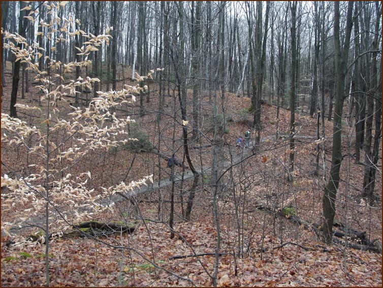
We hike west for about 600 m and turn north towards McCarston's Lake

The small beech trees seem unwilling to give up their leaves
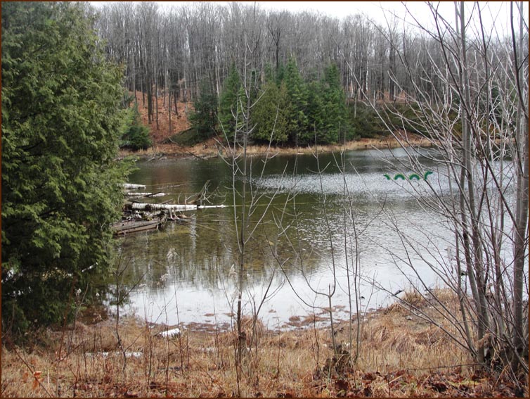
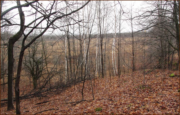
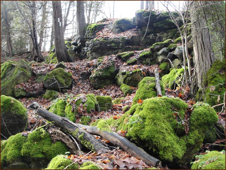
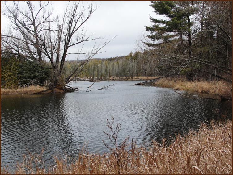
McCarston's Lake is the only natural lake in Mono. It is a kettle lake, formed about 13,000
years ago by the gradual melting of a huge buried piece of ice that had been left behind
by a retreating glacier.
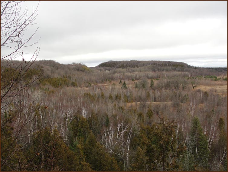
We had our Elevensies at the Lookout and headed south along the top of the escarpment.
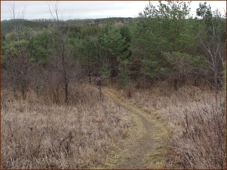
We leave Mono Park at County Road 8.
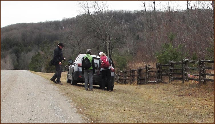
After completing a very pleasant hike of 15 km in three hours,
we picked up the cars and drove off to Timmy's in Orangeville.
|