Iroquoia #7
67.6 km to 78.8 km

January 13, 2015

Sunny and cold at -18C,
coldest day of this year. 


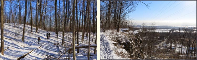
After positioning the cars, we started the hike at Snake Road. 
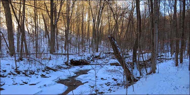
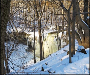
We hiked along a road allowance past swamp and sumac to the edge of the Grindstone Creek Valley and gradually descended to the floodplain and then crossed a bridge over Grindstone Creek. We continued on a gradual climb of forested slopes. Today the creek was mostly frozen.

Previous Section
Next Section

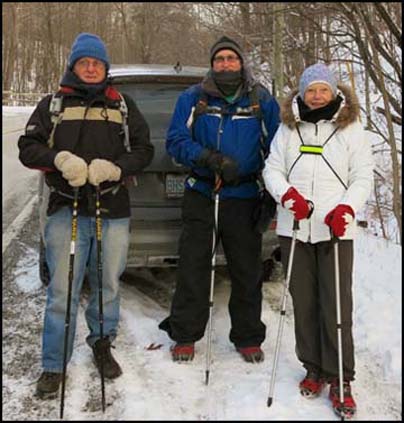
Case, Steve, Helgy, Steve and Karen Nurse, our leader and photographer.

We climbed across the  valley slopes to reach steps leading to a switch back.  We continued to an open area leading to a lookout over Great Falls and a small parking lot.  We took a sharp right turn following a gravel path and steps to cross Mill Street and then crossed a grassy plain.We climbed across the  valley slopes to reach steps leading to a switch back.  We continued to an open area leading to a lookout over Great Falls and a small parking lot.

  We took a sharp right turn and followed a gravel path and steps to cross Mill Street and then crossed a grassy plain. We entered a subdivision and followed Flanders Dr. for 85 m turned left between the houses and then turned right along the hydro lines south of Mountain Brow.
We crossed the road and climbed a stile into the BTC-owned McNally property.  We turned left and soon entered the Conservation Halton's Waterdown Woods area.  From here we followed an old race track and proceeded through a wooded area and crossed a grassy field.

We crossed a private road and continued through mature hardwoods to reach King Road.  After crossing the road we entered another wooded area passing a lookout with views of Burlington and Lake Ontario. 

Burlington Skyway and Hamilton cityskyline on a cold January morning.

We left the brow and hiked to Kerns Road.  After crossing the road, we passed through a small woodlot and skirted Kerncliff Park which is the site of a former quarry now being developed as parkland by the City of Burlington.  We continued through the woods at the edge of a field and then descended into a wooded valley.  Despite the cold we still stopped for our elevensies.  After a short climb we turned left before leaving the escarpment to the north through a young woodlot to reach Signal Hill at Dundas Street.

We crossed the highway and turned right to pass through woods.  We crossed Cedar Springs Road and followed the road for 100m.  We climbed a stile and passed through private woodlots until we reach Fisher Access Trail.  We took the access trail to our parked car.
We stopped for sustainance at Tim Hortons at Clappison's Corner before heading home.


Return to top of Page
Deep Roots and Tall Trees
Return to top of Page