|
The Bruce Trail
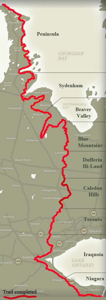
The trail follows the edge of the Niagara Escarpment, one of the thirteen UNESCO World Biosphere Reserves in Canada, for almost 900 km (560 mi). The land the trail traverses is owned by the Government of Ontario, municipalities, local conservation authorities, private landowners and the Bruce Trail Conservancy (BTC). The name of the trail is linked to the Bruce Peninsula and Bruce County, which the trail runs through. The trail is named after the county, which was named after James Bruce, 8th Earl of Elgin who was Governor General of the Province of Canada from 1847 to 1854.
The idea for creating the Bruce Trail came about in 1959 out of a meeting between Ray Lowes and Robert Bateman, of the Federation of Ontario Naturalists. Ray Lowes' vision was of a public footpath that would span the entire Niagara Escarpment.
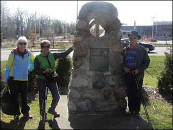
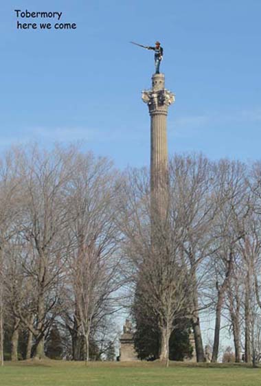
The trail begins in the Niagara Peninsula of Southern Ontario in Queenston, Ontario, on the Niagara River. The cairn marking its southern terminus is about 160 metres from General Brock's Monument. From there, it travels through the major towns and cities of St. Catharines, Hamilton, Burlington, Milton, Halton Hills, Walters Falls, Owen Sound, Wiarton, and finally Tobermory.

|


