April 24, 2015
Also hiked - May 12, 2016
October 20, 2016 (fall colours)
Weather: Sun and cloud, coldish with some wind.
We enjoyed another great breakfast of yogurt and fruit compote, spinach quiche, orange juice and coffee. Mel then dropped us all off at the Old Baldy Conservation Area parking lot.
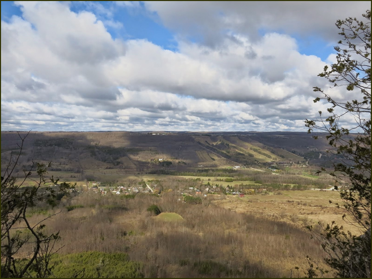
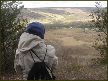
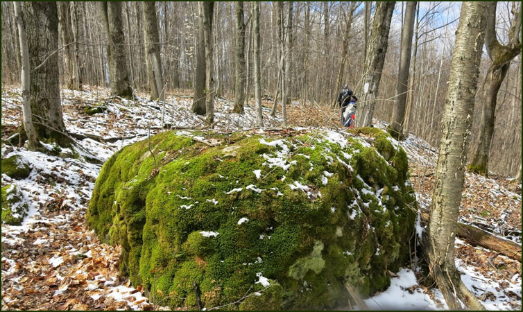
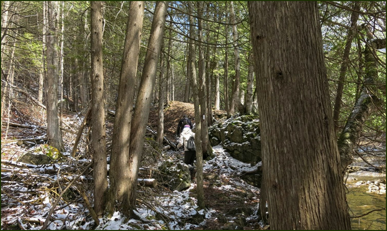
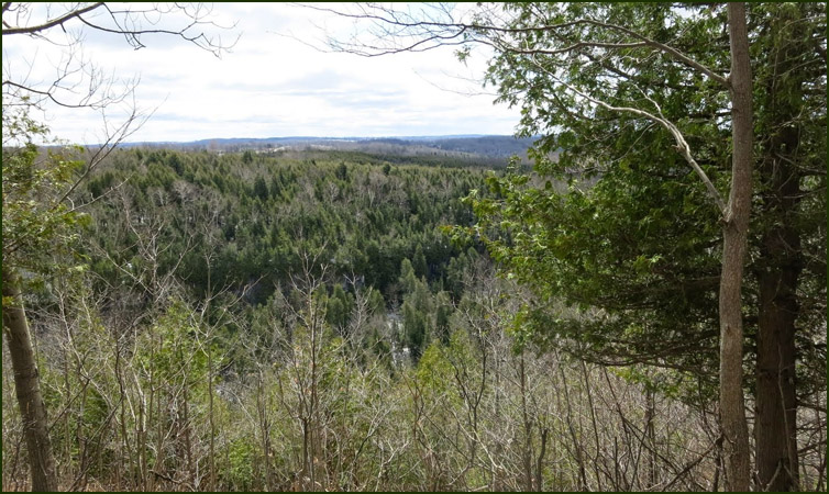
From the parking lot we headed south along the cedar-lined Escarpment edge past several excellent viewpoints before reachubg Old Baldy Lookout, where the Escarpment face is 150 m high. |
 |
Previous Section |
Next Section |
 |
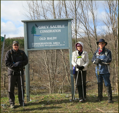
Steve, Helgy Case
and Karen, our leader, taking the picture |